Cotswold Way: Birdlip to Painswick
- Distance 10 km
- Time 2 h 23 min
- Speed 4.0 km/h
- Min altitude 144 m
- Peak 286 m
- Climb 542 m
- Descent 661 m
- Distance Instructions
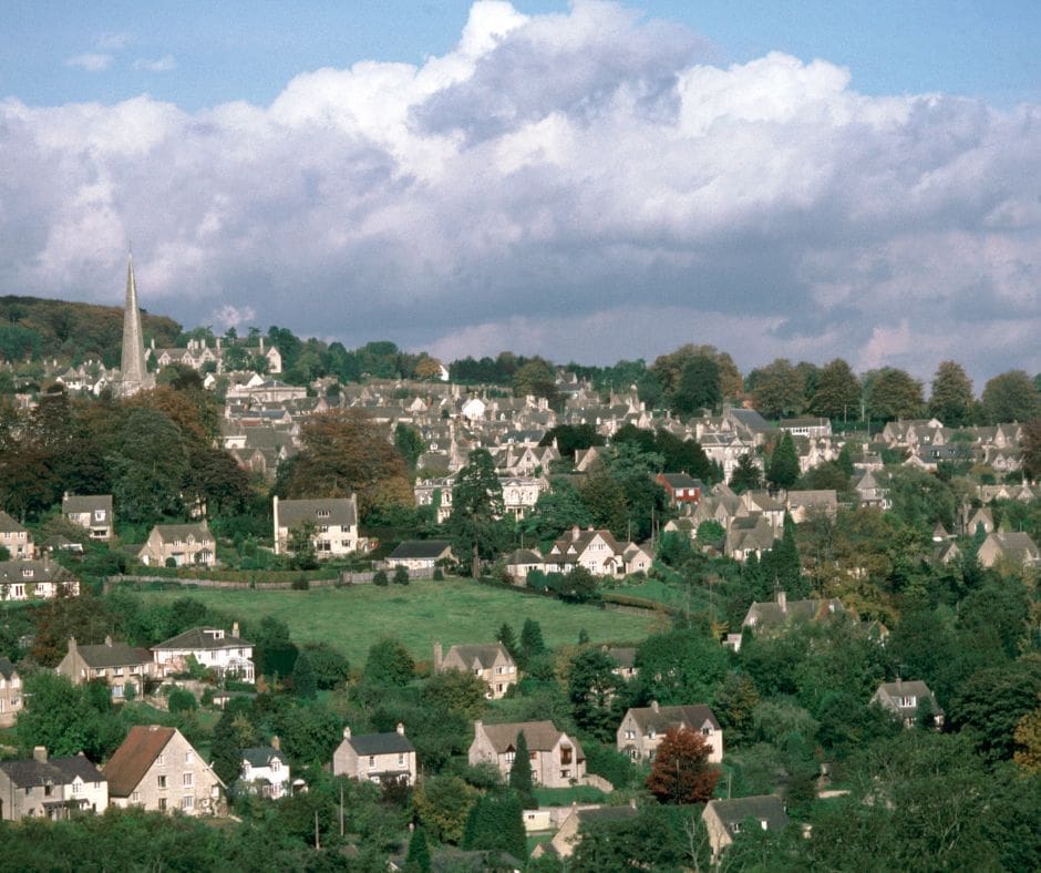
The stretch of the Cotswold Way from Birdlip to Painswick is renowned for its stunning views, picturesque villages, and varied landscapes. Birdlip is a village located on the western edge of the Cotswolds, while Painswick is a charming town nestled in the heart of the Cotswold Hills. The section of the Cotswold Way between these two points covers approximately 7 miles (10 km) of scenic countryside.
Starting from Birdlip, walkers are treated to panoramic views of the Severn Vale and the distant Malvern Hills as they ascend through woodland and open fields. The trail then passes through Cranham Woods, known for its ancient beech trees and diverse wildlife, including deer and birds of prey.
Creator
MedalMad
Rating
4/5
3/5
4/5
4/5
Gallery
Label
1. Start
Altitude: 265 m
2. Finish
Altitude: 143 m
3. Cotswold Way: Birdlip to Painswick
Altitude: 265 m
| Distance: | 9551 |
| Elapsed Time: | 0 |
| Avg Speed: | |
| Min Altitude: | 0 |
| Max Altitude: | 0 |
| Climb: | 542 |
| Descent: | 661 |