
Bourton and The Slaughters Circular
- Distance 9 km
- Time 1 h 7 min
- Speed 8.0 km/h
- Min altitude 130 m
- Peak 205 m
- Climb 96 m
- Descent 96 m
- Distance Instructions
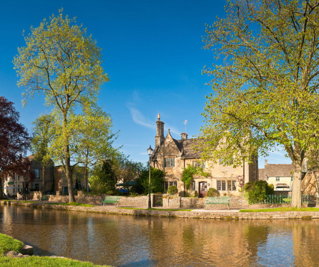
This is a pleasant circular route from Bourton-on-the-Water and through Lower and Upper Slaughter, where you will be treated to scenic Cotswold villages and farmland and riverside views along the Windrush.
Creator
MedalMad
Rating
Gallery
Label
1. Church
Altitude: 133 m
2. Coach and Horses
Altitude: 139 m
3. Lower Slaughter
Altitude: 140 m
4. The Mill
Altitude: 140 m
5. The Ford
Altitude: 149 m
6. Windrush way
Altitude: 146 m
7. Lansdown road
Altitude: 138 m
8. The Mill House
Altitude: 133 m
9. Start
Altitude: 130 m
10. Finish
Altitude: 130 m
11. Bourton and The Slaughters Circular
Altitude: 130 m
| Distance: | 9045 |
| Elapsed Time: | 4028 |
| Avg Speed: | 2.233954294026 |
| Min Altitude: | 130 |
| Max Altitude: | 205 |
| Climb: | 96 |
| Descent: | 96 |